

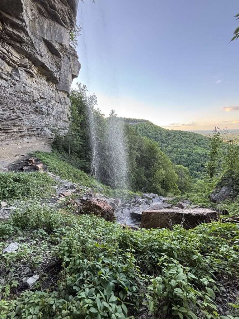
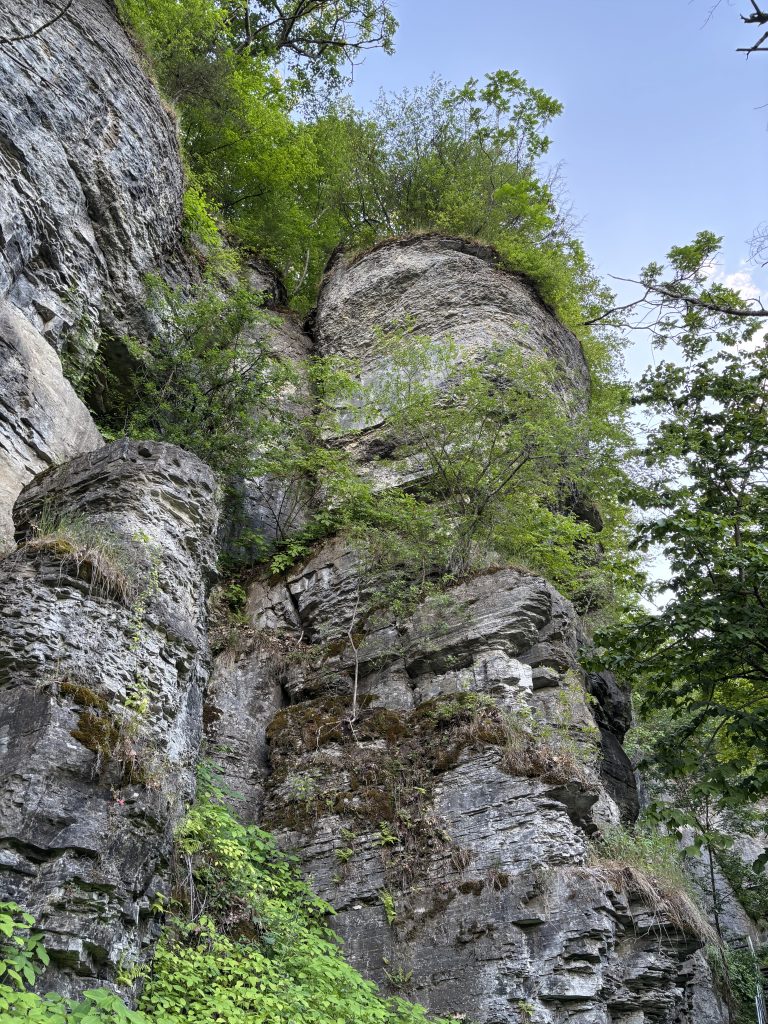
John Boyd Thacher State Park sits along the Helderberg Escarpment, a prominent limestone cliff line west of Albany. The cliffs of the park mark the eastern edge of the Helderberg Plateau, which the park occupies. The escarpment is comprised of layered limestone and shale, which were deposited when the region was part of a shallow Devonian sea. Layers are visibly exposed along the cliff face, which features prominent ledges and overhangs. Several waterfalls also spill over the escarpment wall, and are main draw of the Indian Ladder Trail – the park’s most popular passage.
The Indian Ladder Trail
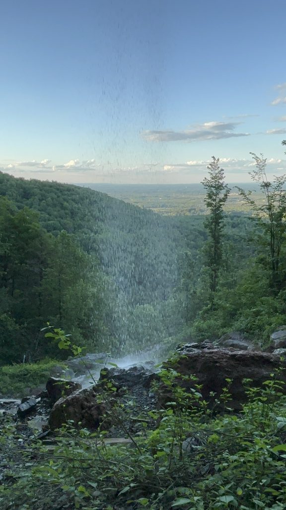
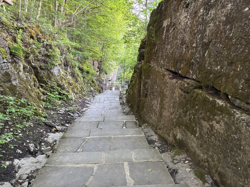
The Indian Ladder Trail follows the base and edge of the cliff, and offers incredible views of the rock face and the valley below. From upper parts of the trail, you can see across the region toward the Hudson Valley, with the distant Adirondack and Green mountain ranges visible on clear days.
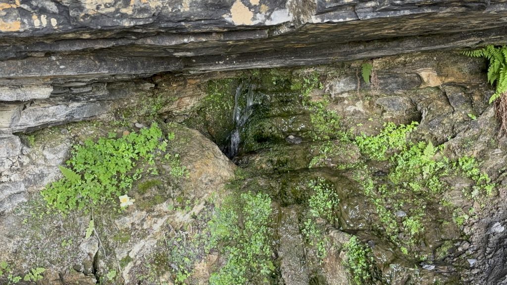
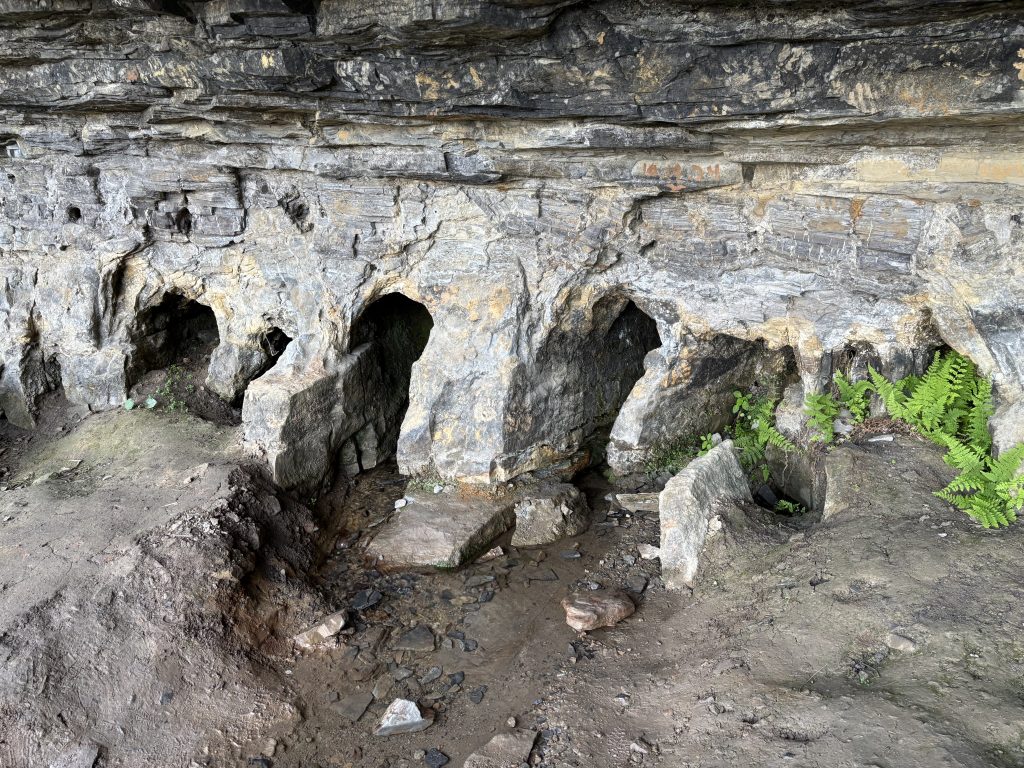
As you hike, you will pass beneath rock ceilings, traverse narrow walkways, and cross short spans supported by trail bridges. Along the route, you will also see several small caves created by long‑term water erosion. The influence of water on the escarpment is evident throughout the trail: moisture moving through the porous limestone emerges as seepage lines, small seasonal flows, and the more prominent Outlet and Minelot waterfalls. These site and features illustrate how water has shaped the rock face over time.
The history of the trail, and of similar routes along the escarpment, is worth noting. The Indigenous peoples of the region used footpaths that took advantage of the natural rock shelves and formations along the cliff wall to ascend and descend the escarpment. Where the cliffs did not provide enough space to walk, they cut trees and fashioned ladders that allowed them to move from one rock ledge to another. European settlers later referred to these structures as “Indian ladders,” a name that eventually became associated with the trail itself.
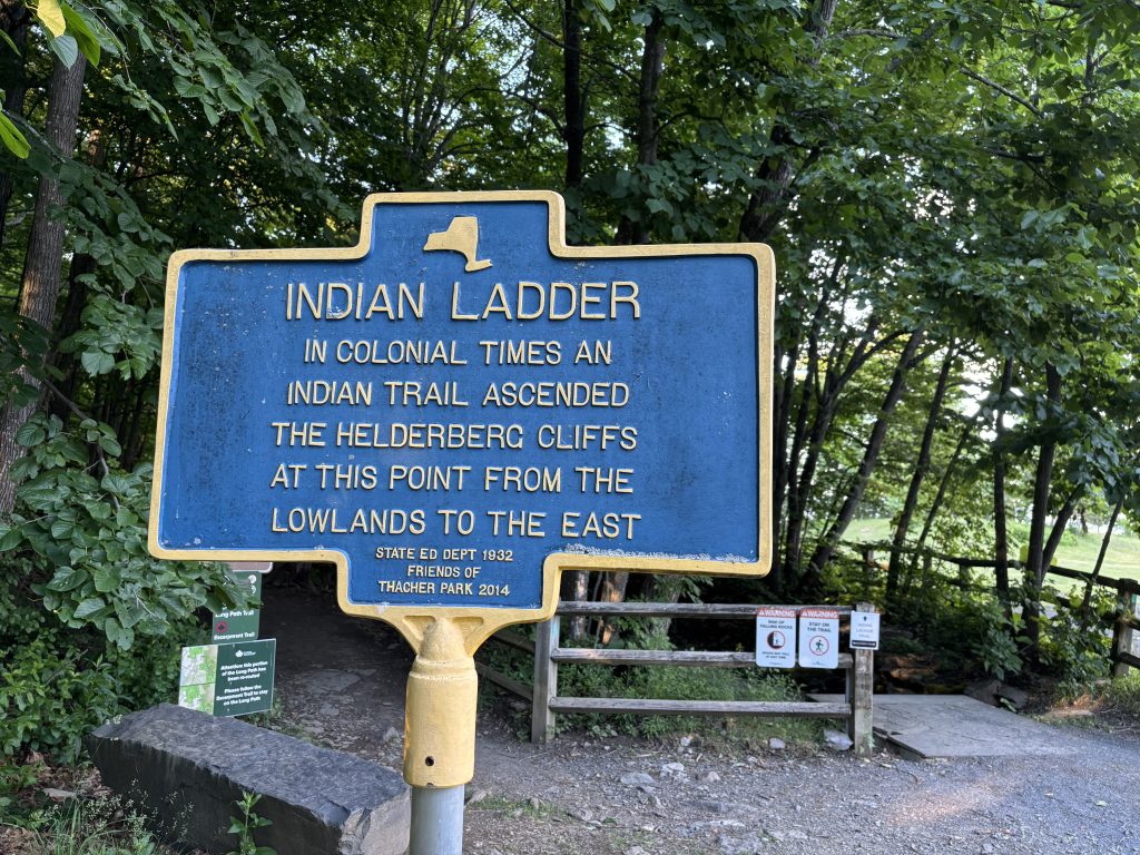
Settlers used the same ladder routes but also developed more complex footpaths and simple bridges to traverse difficult sections of the escarpment. Over time, as the plateau became an important farming area, valued for its productive soils and strategic location, and settlers constructed roads and horse paths to improve access. These early routes laid the groundwork for the modern trail system that now defines the park.
State Park Development
The park is named for John Boyd Thacher and Emma Treadwell Thacher who acquired and conserved land along the Helderberg Escarpment to curb development. Emma Treadwell donated the initial parcel in the early 1900’s, and the small parcel became a state park officially in 1914. The park expanded several times, including in the early 2000’s, and now surpasses 2,000 acres. In addition, the Nature Conservancy and the Mohawk Hudson Land Conservancy have protected additional acreage and sites nearby.
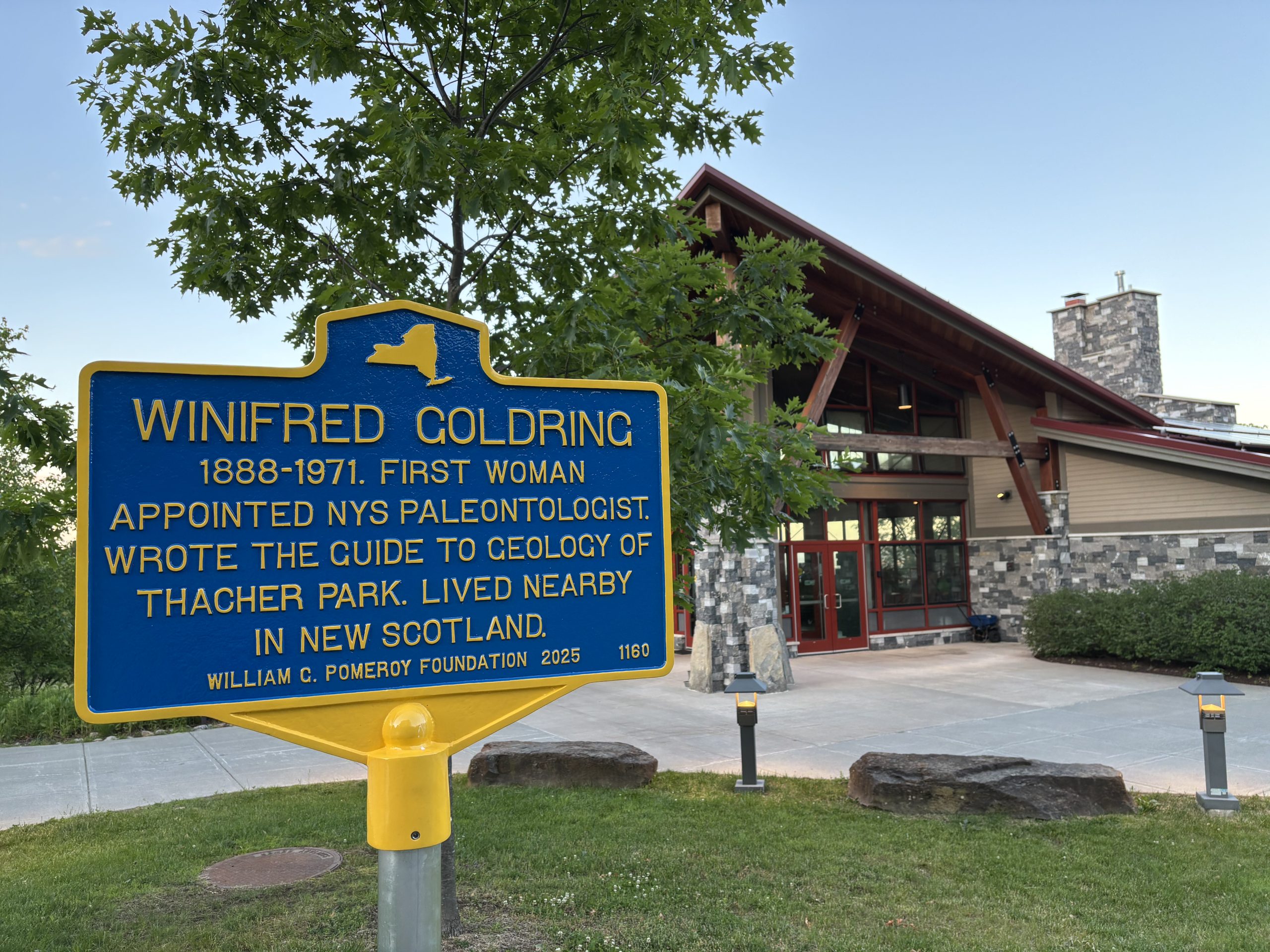
The park has long been a destination for educators and geologists, who make use of the highly visible and diverse geological history on display throughout the area. In addition, the escarpment is fossil-rich, and has been the site of several paleontological discoveries and notable historic digs. It has been so significant, in fact that the National Park Service listed Thacher Park as a National Natural Landmark, due to the scientific value of the escarpment rock exposures and the notable fossil records. The park is considered one of the most accessible sites in the country to study the Paleozoic Era, and the Helderberg Escarpment has been a site of fossil discoveries dating back to the early 1800s, and the area is one of the earliest recorded systematically studied and cataloged paleontological sites.


When the park was established, the Helderberg Escarpment was also already recognized as a scenic destination, and formal trails and visitor experiences were developed soon afterward to accommodate hikers and tourists. In the 1930s, Thacher State Park expanded and diversified rapidly when the Works Progress Administration (WPA) improved roads, constructed facilities, and created additional trails, overlooks, and recreation areas. As is the case in many New York State parks, numerous stone structures, retaining walls, and stairways built by WPA crews remain in use today.
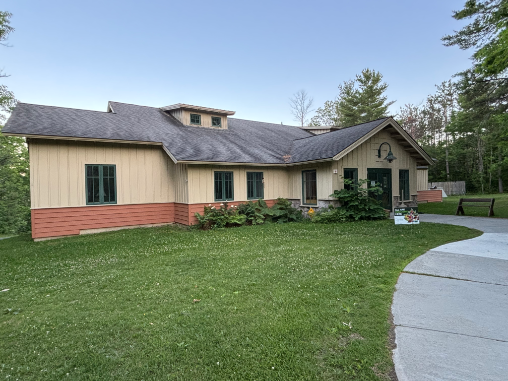
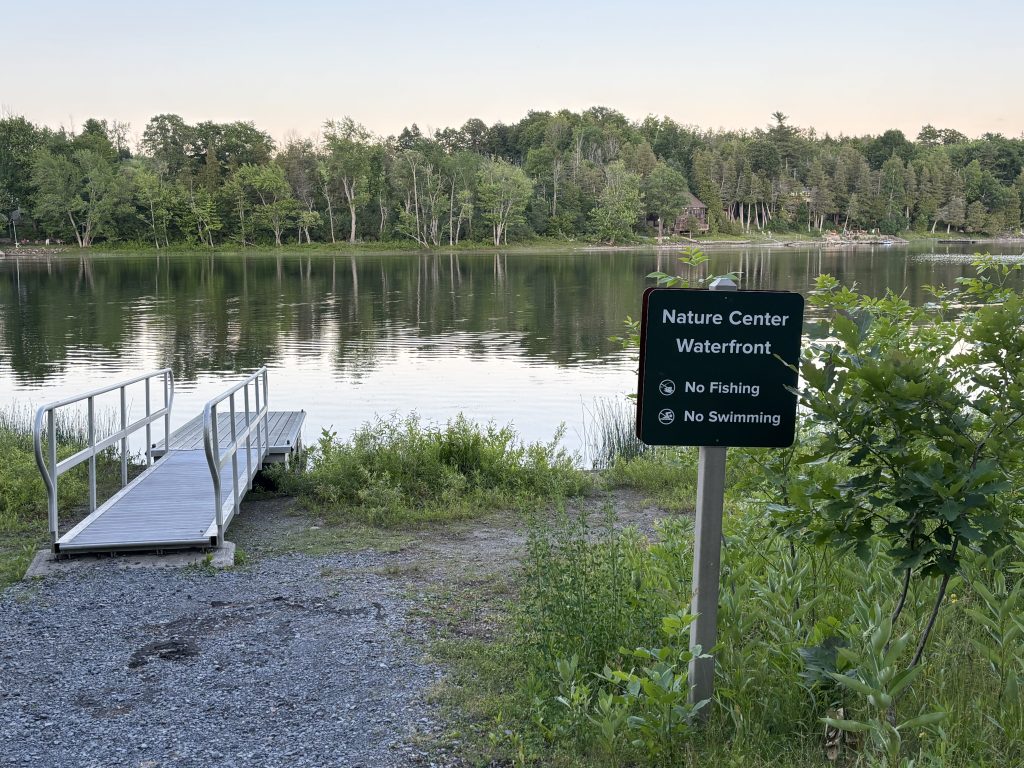
The Civilian Conservation Corps (CCC) later established a camp near Thompson’s Lake, further contributing to the region’s development. CCC crews advanced early conservation practices, built infrastructure, and helped define management zones that continue to shape Thacher’s mission. Their presence also created a template and a physical location for a future campground. After being used by several groups over the years, the site was eventually converted into a state‑operated campground serving Thacher Park in the 1960s. Today, the campground remains active, alongside the Emma Treadwell Thacher Nature Center, which continues the park’s educational and conservation legacy.

Complete June 2026 Album
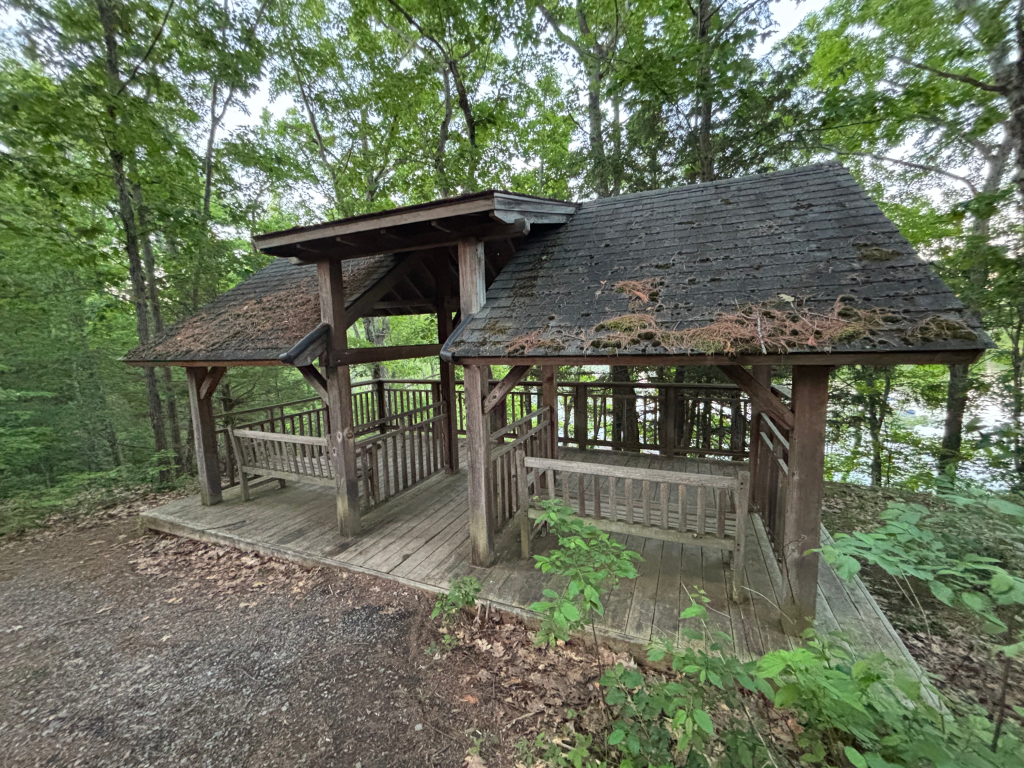
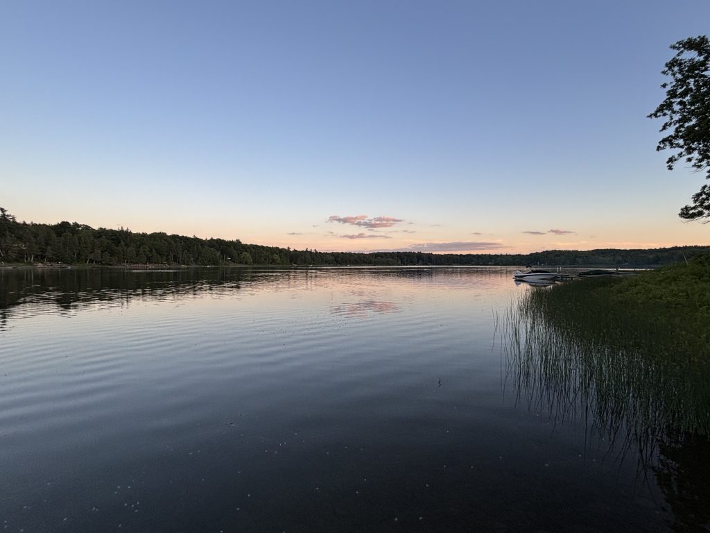
Please enjoy these photos and videos taken throughout Thacher State Park in June 2026. They include views of the Indian Ladder Trail as well as other notable sites and features across the park.


